Topics for course
Possible topics:
- Differences in maps between QGIS and ArcGIS
- Google Map Styles
- D3
- MapBox
- QGIS, and other open source options;
- Tile overlays, with thematic maps?
- Amazon Web Services and EC2 (create an instance, load Apache, GeoServer)
- Apps for the iPad
- Leaflet choropleth - How to map data by area using Leaflet, besides population density?
- OpenStreetMap input; GPS Trace; iPad input; OpenLayers
- OpenStreetMap vectors, and Cloud Nine - How to get and use vectors from OpenStreetMap? What does Cloud Nine do?
- Uploading new vectors to OpenStreetMap - Providing new vectors from tracing an air photo or through a GPS trace
- Drupal, Wordpress - These are open-source (free), content management systems
for making web sites that are composed of multiple pages. How do they
work with interactive maps?
- US County Census Maps as selectable layers
- List-based animation ala earthquake site
- Movement animation ala planefinder.net
- Making a viral map to exceed 25,000 maps a day
- Generating a daily KML
Considerations for Cart Perspectives article:
- Cannot be solely based on commercial software.
- Which topic presents the most long-term utility?
- Which topic would be of most interest?
Topics for Paper
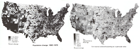
- Unclassed choropleth mapping | Image | Color | American Stat | Continuous Colors |
- Interpolation 100/50 pts | IDW | QGIS | It is important to remember that there is no single interpolation method that can be applied to all situations
- Language between Map Services | Google |
- Choropleth on Mercator | AirPop at 1500 | By County | World | Molleweide |
- Choropleth on Earth | Map on Globe
- Map Familiarity | Code10 | Likert |
- Multi-scale Thematic Maps | Tile-based |
- cartographer.js
- Zoomable Choropleth